
My husband Timo Shafer and I had driven north to Errol, New Hampshire to join some of the EasternSlopes.com staff for a volunteer work weekend at Lake Umbagog, On the way home, Timo and I decided to break up the drive with a hike in the White Mountains. It was a chance for me to add another 4000-footer to my life list. Since it was Memorial Day and hot, we wanted to avoid both the crowds and the heat, if possible, so we chose to hike up North Twin Mountain (4,761 feet).
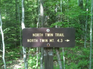
The hike up North Twin Mountain Trail starts from the Haystack Road (Fire Road 304), off US 3, about 2.3 miles west of North Twin village. We arrived just before 10 am, and there were already a handful of cars at the trailhead. After packing our lunch and draping our tent fly over the car to dry (it had rained a little the night before), we headed into the shady woods.
The trail begins alongside the Little River on what was once a railroad bed. That made for easy walking, at least for the moment. The recent rain had filled the Little River, and the sound of rushing water created a natural soundtrack. The high water also made the first two of the three river crossings of the hike a greater challenge than they might usually be.
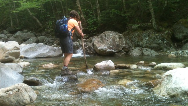
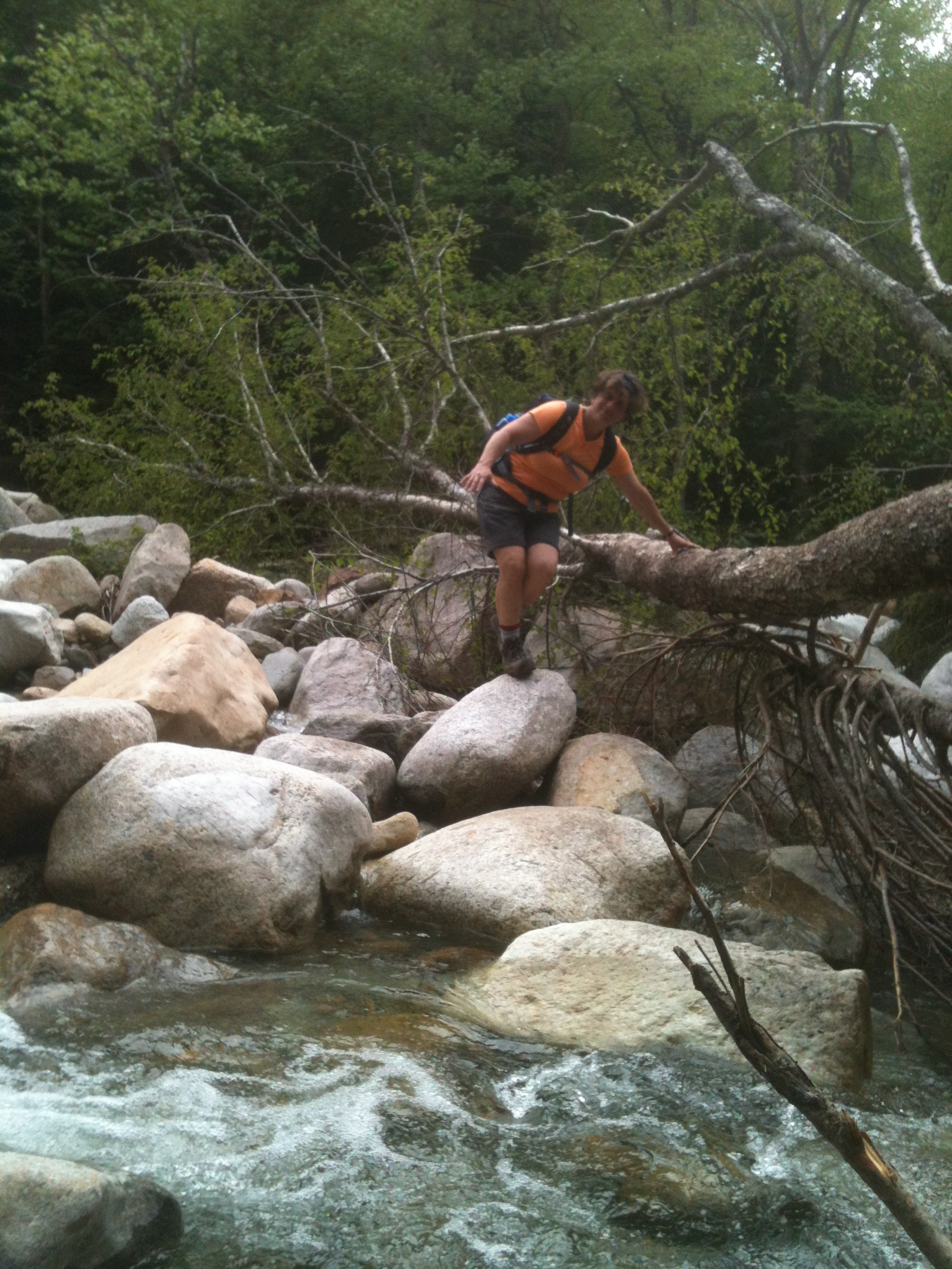
The first and widest crossing presented more than the usual difficulty of maintaining one’s balance while skipping across on dry stones: First problem, there weren’t many dry stones. The obvious stepping-stones were all under water, and at first glance, the dry stones were either too awkwardly shaped or too far apart to make this the usual joyful hopscotch from one side of a stream to another.
Second problem, height differential. With his long legs, Timo had no problem finding a dry route. For vertically-challenged me, it took a little more scouting and a great deal more courage to pick my way across without losing my balance. But I made it. With dry feet, even.
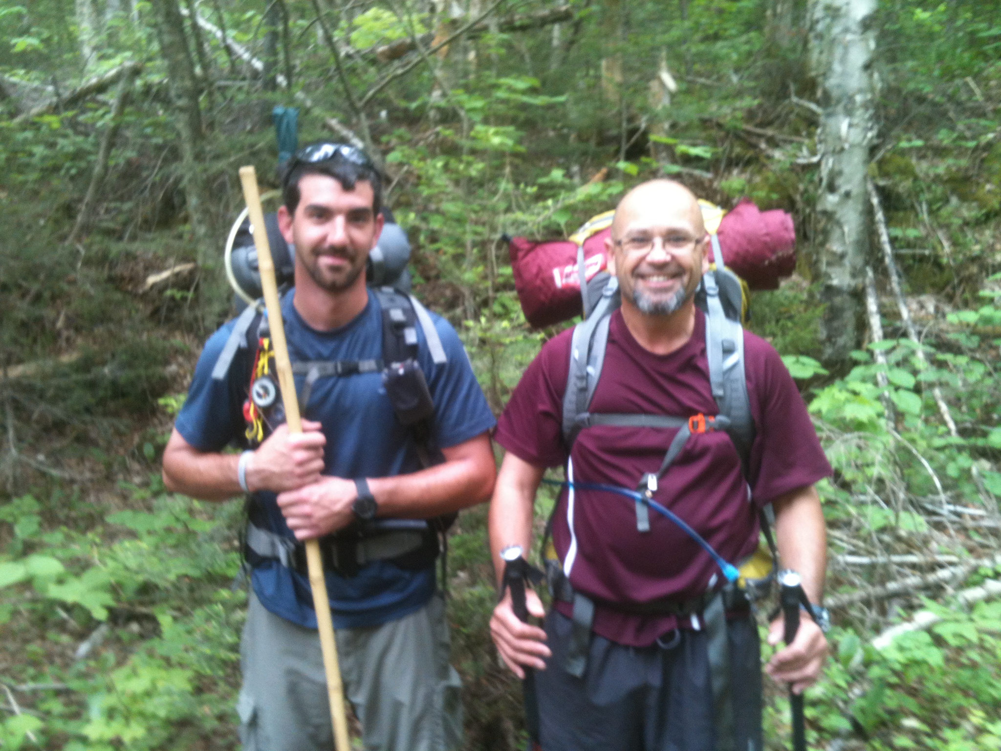
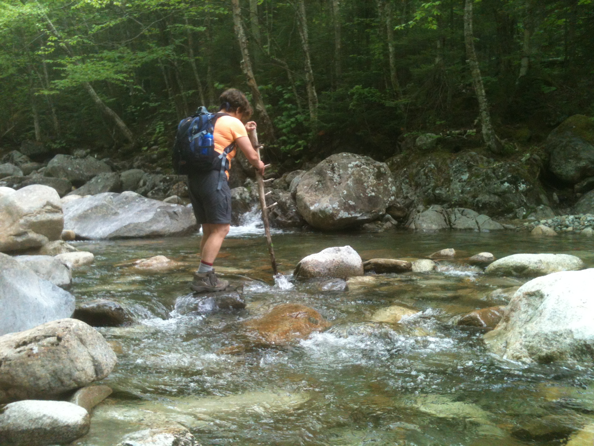
Within a half-mile, we came to the second crossing, where we met four of the only half dozen people we saw all day. A man and woman had just crossed the river to our side and kindly pointed out their barely-dry route. The woman handed me a stout stick she had used for stability and it served me well. I made it across, feet still dry. [Editor note: Trekking poles can make a huge difference in safety and comfort in a situation like this, which is why we recommend them for all hikers.]
I then offered the stick to two men walking down the mountain, but they declined. “You can bypass these two lower crossings, you know,” they told me, pointing to a cairn that marked a path along this side of the river. One of the guys said, “This path takes you right back to the parking area without having to cross the river at all.” [Editor note: see below for additional information].
This was good information.The afternoon threatened thunderstorms, and while we were pretty confident of being off the trail before the storm arrived, an alternate trail was welcome – just in case heavy rain made the Little River too big to cross by the time we made it back down.
The third and final river crossing at 1.9 miles was easy, not just because the river was narrower here, and the boulders huge, but also thanks to a couple of downed trees which served as convenient bannisters to hold onto as we crossed the brook.
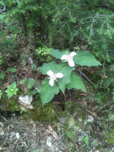
After this crossing, the trail turns away from the river and becomes steeper, rockier, and deeper into the shade, welcome on this hot day. There, we spied rafts of wildflower in full bloom: puffy lady slippers, elegant painted trillium, and carpets of bunchberry.
At 3.5 miles from the start, the trail becomes quite steep for about a half mile. Even though we were on the cooler, north face of North Twin, the heat and humidity rose with us. But the work of climbing was rewarded with increasing views of the surrounding peaks. We were glad for all the water we carried: I had two liters with me; Timo three. We drank every drop by the time we finished the hike.
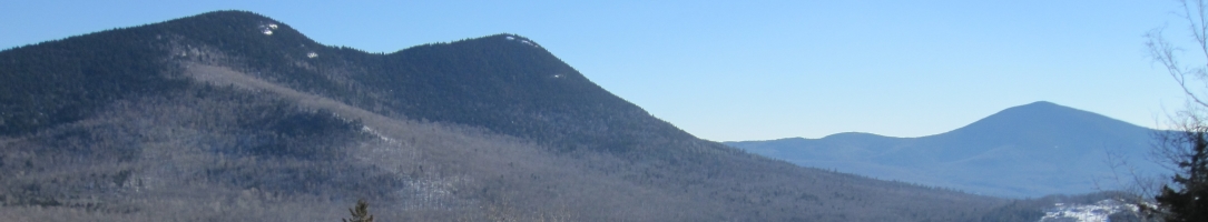
The summit of North Twin is right at tree line and doesn’t offer a full 360-degree panorama. But there’s a great ledge slab just before the actual summit that affords terrific views to the north and west, giving us a particularly good look at the Cog Railway chugging up Mount Washington. The hot, humid air turned the silhouettes of the White Mountains blue against a milk-colored sky. A white-throated sparrow sang out over the vast green forest, while we identified distant peaks.
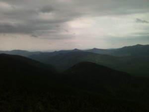
A vague breeze cooled us as we walked down a short spur trail from the summit itself, leading to a lookout with views to the east and south. There is nothing quite like standing on a mountaintop to change one’s perspective on life, to see how much bigger the natural world is than we are. For me, it’s also good to see how many of the 4000-footers I’ve climbed, and how many I’ve yet to go.
My husband is New Hampshire born and grew up hiking the Whites. When I met him twenty-eight years ago, he’d climbed 39 of the 40 peaks over 4,000 feet. Today, that’s still the case. But I’ve now climbed 27 of New Hampshire’s highest, and it’s starting to look as if we’ll be able to climb that last one together.
Whenever we take the time to get out on the trail and climb to the top of a mountain, we feel both sore and rejuvenated. And we always vow: Let’s do this again – soon.
Trail Tip
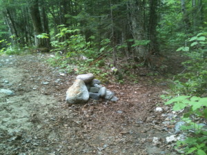
The by-pass path: By-passing the two lower river crossings is easy. On the way up, simply continue straight instead of turning right to cross the river. This trail is not marked, but it is well worn, and was probably the actual rail bed. (We saw an old rail sticking out of the bank.) A stone cairn marks the end of the bypass, where it rejoins the main, blazed trail, just after the second river crossing.